Anthropogenic Stressor.
In the Upper Gauley, there is less of a chance of having an anthropogenic stressor in this area. Here, human activity is far and few in between. Many locals live here, so the potential stressor would most likely be a lack of governmental management over pollutants.
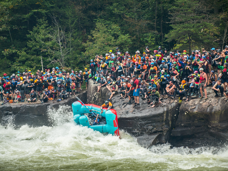
Both Summersville Lake and the Lower Gauley have a high anthropogenic stressor of pollution from humans. Tourism is highly encouraged and managed in Summersville Lake and the Lower Gauley. Whether that is human waste (defecation or trash), altering of the physical environment, or hunting/fishing, tourism is a huge stressor to the environment here. Many fish species suffer from water pollutants in this area.
In addition, Summersville Lake is drained once a year by the Army Corps of Engineers in preparation for the spring floods. Draining the lake dries out habitats, as well as nutrients and minerals throughout the lake. The riparian buffer surrounding the waters edge loses those nutrients and the hydration needed for metabolic processes. Vegetation suffers here, as well as fish and macroinvertebrate communities.

Climate Change.
For my locations, climate change is causing a higher average daily temperature. Data was beginning to be collected during 2007, but historical data is available as well. Today there is an average daily temperature of 67 degrees Fahrenheit (Climate Explorer, 2021) (Figure 1). In 20 years, this temperature will rise to 69 degrees Fahrenheit (Climate Explorer, 2021). By 2071, we are looking at a projection of 75 degrees Fahrenheit (Climate Explorer, 2021).

Natural disturbances, such as yearly flooding, will be impacted by this drastic change in temperature. A warmer atmosphere holds more moisture, which results in more rainfall and subsequent floods (Carbon Brief, 2012). A higher volume of water can lead to more lake drains from the Summersville Dam, which continues to batter the Lower Gauley. This lake drainage negatively affects the natural lake stratification that nutrients and animal species depend on for survival. In addition, the released water from the dam contains cold water temperatures which ruins the river chemistry and habitats for animals living in the Lower Gauley. The most vulnerable species in these areas are the fish communities. Fish depend on temperature and nutrient availability, both of which are affected by rising water levels from flood and excess drainage from the dam.
Conservation Plan.
Since there is not much pollution control in the Upper Gauley, I suggest an easy management plan whereas the West Virginia Army Corps of Engineers attempt to educate the public on safe practices when it comes to farming and agriculture. Many citizens are only aware of practices that have been handed down and shared throughout the community, and have zero knowledge of how their actions directly affect the ecosystem that they live in.
There is already heavy management of the Summersville Lake area. The Army Corps of Engineers patrol the lake on heavy tourist months, and there are restrictions of fishing, types of bottles, and swimming on the lake as is. There are wake limits posted in areas of the lake where riparian buffers are at risk of erosion. There are no jumping signs on cliffsides where erosion is prone to occur. Heavy fines are in place for anyone that breaks these laws. The only conservation method that I would suggest would be the addition of habitat-building practice. Since the lake is drained once a year, many fish/macroinvertebrate habitats are lost to weathering processes when exposed for such long periods of time. The mitigation of fish habitats would help increase the amount of breeding areas that these species would have. This can be done by cutting down trees and sinking them into the lake during the spring season, when the lake begins to refill from melted snow runoff. West Virginia is already heavily forested and the Corps of Engineers is in charge of managing many acres of forest already. When some trees are removed for these management practices, they can be sent into Summersville Lake to increase fish/macroinvertebrate habitats.
The Lower Gauley has heavy management as well, but there are politics at play here. Tourism is a big part of West Virginia’s economy, therefore whitewater rafting companies get a say-so when it comes to management of the Lower Gauley. Much of the land surrounding this river has been bought up by these companies, and these lands become heavily trafficked during peak whitewater season. This intense human interaction causes an increase in pollution and human waste for the area. In addition, many animal species have a difficult time making their home here due to the immense amount of human interaction. I believe that a mitigation strategy for this area would be to enforce more regulations on these companies when it comes to cleaning up after themselves. Though the Corps of Engineers do not own the land, West Virginia can pass laws to better protect the environment of the Lower Gauley.
References:
Climate Explorer. (2021). The Climate Explorer. U.S. Climate Resilience Toolkit. https://crt-climate-explorer.nemac.org/
Carbon Brief. (2012). Five things to know about flooding and climate change. SCIENCE. https://www.carbonbrief.org/five-things-to-know-about-flooding-and-climate-change
Comments
Post a Comment