The Shasta National Forest (Shasta NF) is one half of the Shasta-Trinity National Forest, the largest federally managed forest in the state of California (Sikes 2010). There are three district area within the Shasta NF: Mount Shasta, the forest itself, and Lake Shasta. Each region differs in climate, soil types, and in the organisms that can be found there (National Climate Data Center 2010; U.S. Forest Service 2021a-e).  |
| Map showing the extent of the Shasta National Forest (green boundary) and the location of each region within the forest. Source. |
Climate
There is some variation in the climate of the three areas of the Shasta NF. The climate of Mount Shasta is the most different of the three regions of the Shasta NF. Monthly precipitation is lower across all months in Mount Shasta compared to the other areas (National Climate Data Center 2010). The peak yearly temperature in July and August is also lower than the other areas (National Climate Data Center 2010). The forest itself and Lake Shasta have the most similar monthly average precipitation and temperature (National Climate Data Center 2010).
 |
| A climograph showing average monthly precipitation and temperature for the base of Mount Shasta. Data Source. |
 |
| A climograph showing average monthly precipitation and temperature for the Shasta NF area. Data Source. |
 |
| A climograph showing average monthly precipitation and temperature for the Lake Shasta area. Data Source. |
Soils
The soils between the three areas are drastically different. Mount Shasta is dominated by rocky outcrops at lower elevations and glaciers toward the peak, such as the Whitney Glacier (UCDavis California Soil Resources Lab 2021; Mount Shasta Avalanche Center 2018). The Shasta NF primarily has Neuns soils while Lake Shasta is bordered by Holland and Goulding soils (UCDavis California Soil Resources Lab 2021). Soils found in all regions are consider poor for agriculture and timber harvesting (UCDavis California Soil Resources Lab 2021).
 |
| Soil profile showing glacier depth near the peak of Mount Shasta. Source. |
 |
| Neuns soil profile, commonly found in the Shasta National Forest area. Source. |
 |
| Holland soil profile, commonly found in the Lake Shasta area. Source. |
 |
| Goulding soil profile, commonly found in the Lake Shasta area. Source. |
Vegetation
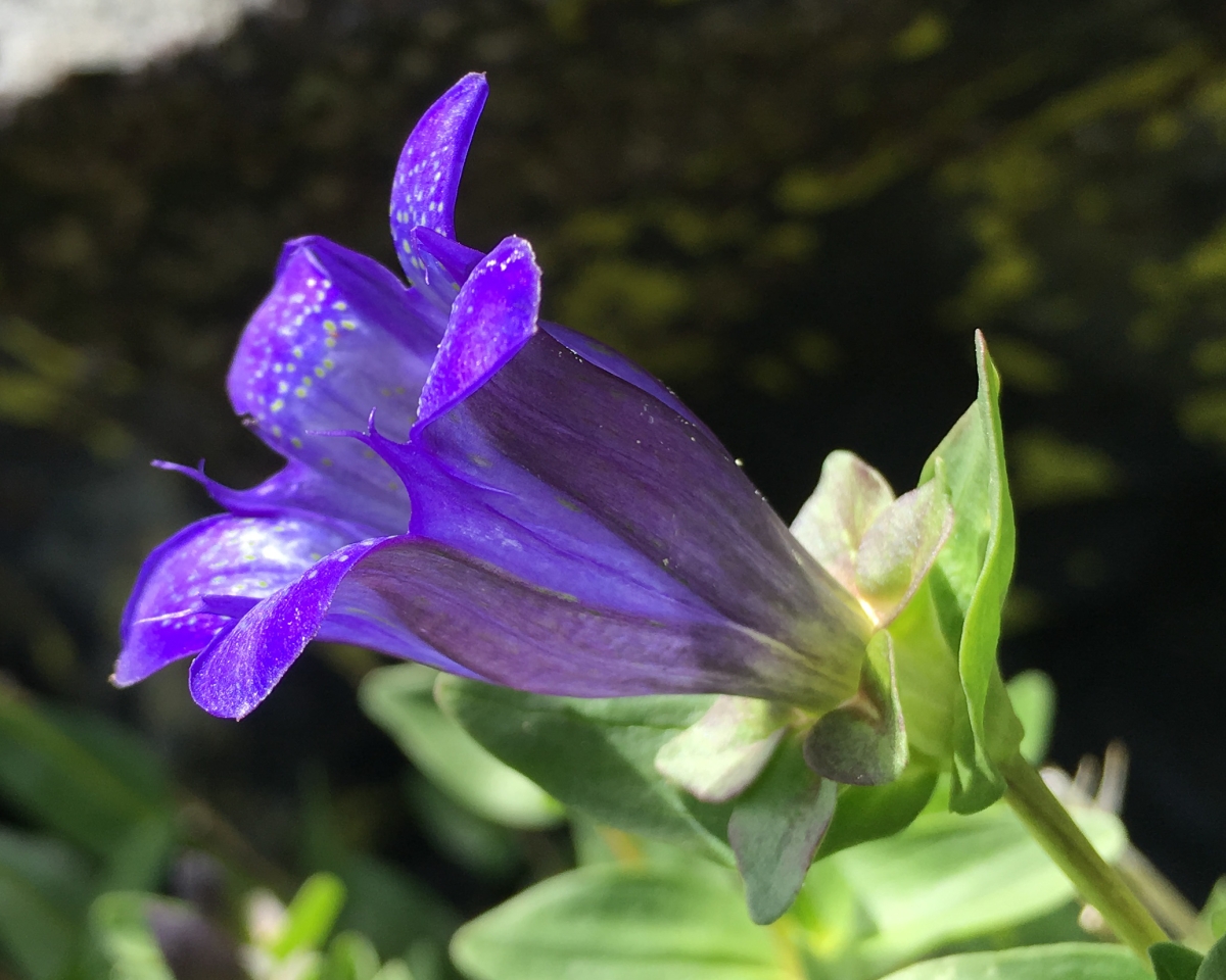 |
| Blue Gentian. Source. |
 |
| A Ringtail Cat. Source. |
Each area also has a unique community of birds and mammals. Mount Shasta is home to Black Bear, Coyote, Martens, and Red-Tailed Hawks (U.S. Forest Service 2021b-c). The Shasta NF area contains Columbian Blacktail Deer, Bobcats, Black-tailed Jackrabbits, and Stellar's Jays (U.S. Forest Service 2021b-c). And lastly, the Lake Shasta area supports Ringtail Cats, Raccoons, Great Blue Herons, Belted Kingfishers, Osprey, and Bald Eagles (U.S. Forest Service 2021a-c).
Literature Cited
Mount Shasta Avalanche Center. 2018. "Whitney Glacier." Accessed Feb. 23rd. https://www.shastaavalanche.org/general-route-description/whitney-glacier#/all.
National Climate Data Center. 2010. "Climate Data Online: 1981-2010 Monthly Normals.". edited by National Climate Data Center. ncdc.noaa.gov: National Oceanic and Atmospheric Administration.
Sikes, Kendra, Danielle Roach, Jennifer Buck, Julie Nelson, and Susan Erwin. "Classification and Mapping of Vegetation from Three Fen Sites of the Shasta-Trinity National Forest, California." 2010.
U.S. Forest Service. 2021a. "Bald Eagles of Shasta, Trinity, & Lewiston Lakes." United States Department of Agriculture. Accessed Feb. 23rd. https://www.fs.usda.gov/Internet/FSE_DOCUMENTS/fsm9_008181.pdf.
---. 2021b. "Birds of the Shasta-Trinity." United States Department of Agriculture. Accessed Feb. 23rd. https://www.fs.usda.gov/Internet/FSE_DOCUMENTS/fsm9_008079.pdf.
---. 2021c. "Mammals of the Shasta-Trinity." United States Department of Agriculture. Accessed Feb. 23rd. https://www.fs.usda.gov/Internet/FSE_DOCUMENTS/fsm9_008147.pdf.
---. 2021d. "Trees of the Shasta-Trinity." United States Department of Agriculture. Accessed Feb. 23rd. https://www.fs.usda.gov/Internet/FSE_DOCUMENTS/fsm9_008614.pdf.
---. 2021e. "Wildflowers of the Shasta-Trinity." United States Department of Agriculture. Accessed Feb. 23rd. https://www.fs.usda.gov/Internet/FSE_DOCUMENTS/fsm9_008263.pdf.
UCDavis California Soil Resources Lab. 2021. "SoilWeb." edited by USDA Natural Resources Conservation Service. casoilresource.lawr.ucdavis.edu: SoilWeb.
Comments
Post a Comment